LightBox Data
LightBox Parcel Data
Comprehensive and accurate nationwide land parcel information combined with over 300 property attributes and seamlessly connected to buildings and addresses.
Overview
LightBox Parcel Data offers the most detailed and up-to-date land parcel information available, essential for real estate professionals, urban planners, developers, and researchers. Our data includes precise property boundaries, ownership details, land use information, and assessment values, empowering informed decision-making. Our parcel data seamlessly connects to buildings, addresses, zoning, and business listings.
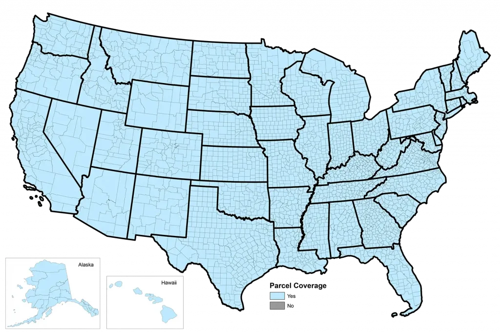
100% nationwide parcel coverage
Regular updates ensure accuracy and data currency
Tested, timely and trusted
Our Coverage
Features and Benefits

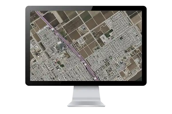
Detailed Parcel Boundaries
Our data includes precise parcel boundaries for hundreds of millions of properties, allowing for accurate property assessments and planning.

Ownership Information
We provide detailed ownership information, updated daily, including property owners’ names, addresses, and transaction histories, facilitating informed decision-making.

Identify Assessed Value and Market Value
Understand assessed land values, improvement values, and percentages, along with taxes paid, dating up to 30 years.
Connectivity to All Other LightBox Datasets
Our customers can see the number of buildings, addresses, and other information that is directly tied to that parcel.
Access LightBox Parcel Data
Download large datasets in various formats, including CSV, SHP, and FGDB, to suit your needs.
Access our data seamlessly through the LightBox API. Integrate parcel data into your applications and workflows with ease. Features include search by Parcel ID, owner name, address, and much more.
Utilize LightBox Vision, our powerful mapping and property research tool, to access parcel data with ease. LightBox Vision provides intuitive map-based navigation, advanced search capabilities, and robust data visualization tools, enabling users to explore and analyze parcel information efficiently.
Leverage the LightBox Feature Service to access parcel data dynamically within your GIS applications. The Feature Service allows for real-time querying and visualization of parcel data, ensuring you have the most current information at your fingertips.
Have questions? Want a demo? Let’s chat.
Fill out the form below and a member of our Sales Team will contact you shortly.