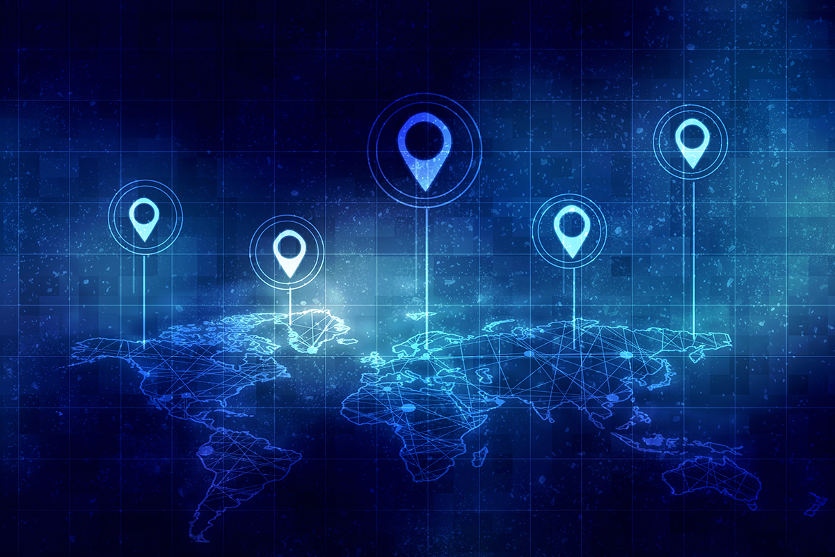
GIS technology is evolving beyond traditional mapping, becoming a critical tool for decision-making across industries. From AI-powered geospatial analysis to real-time The Internet of Things (IoT) data integration, organizations are leveraging GIS in new ways to tackle complex challenges. Whether it’s optimizing supply chains, monitoring environmental changes, or enhancing urban planning, here are the top trends shaping GIS in 2025.
1. AI-Driven Geospatial Analysis
Artificial Intelligence (AI) and machine learning are revolutionizing GIS by automating complex analyses and uncovering patterns in large datasets. For example, AI-powered tools can analyze satellite imagery to detect urban sprawl, predict wildfire risks, or monitor illegal deforestation. Governments and NGOs are leveraging these capabilities to enhance disaster response and conservation efforts. In urban planning, predictive modeling helps cities optimize resource allocation and infrastructure development.
“AI is fundamentally reshaping how we analyze geospatial data,” noted Skip Cody, product manager at LightBox. “The ability to process vast datasets in real time and extract meaningful insights is transforming industries that rely on location intelligence.”
2. Integration of IoT with GIS
IoT is generating a wealth of real-time location-based data, which GIS technology can harness for actionable insights. For instance, smart city initiatives use IoT sensors combined with GIS to manage traffic flow, monitor air quality, and track utility usage. In logistics, IoT-enabled fleet tracking with GIS mapping ensures efficient delivery routes and real-time updates on shipment locations. When paired with GS1 QR codes, businesses can link physical assets to digital location data, enabling accurate product identification, traceability, and real-time supply chain visibility.
3. Cloud-Based GIS Solutions
Cloud computing continues to expand GIS accessibility and functionality. Cloud platforms like Esri’s ArcGIS Online, Microsoft Azure, Snowflake Spatial Geospatial, and AWS Location Services, allow organizations to store, share, and analyze spatial data without needing extensive on-premise infrastructure. Being mindful of AWS cost optimization practices can help organizations manage expenses effectively while leveraging cloud resources for GIS analysis. Real-time collaboration among teams is now seamless, enabling simultaneous updates and quicker decision-making. Additionally, cloud computing supports advanced spatial analysis, such as processing high-resolution satellite imagery and modeling climate scenarios. LightBox, a leader in location intelligence for commercial real estate (CRE), leverages cloud-based GIS to provide dynamic mapping and real-time property data insights, aiding decision-makers in analyzing market trends and flood risks.
4. Advancements in 3D GIS and Digital Twins
3D GIS technology is gaining traction, with applications ranging from urban development to environmental monitoring. Digital twins—virtual models of physical entities—are becoming indispensable for industries like construction and manufacturing. For example, a digital twin of a city created using 3D GIS can simulate traffic patterns, evaluate energy consumption, and test disaster resilience scenarios, providing invaluable insights for planners and policymakers. Furthermore, platforms like MapsPeople are extending these capabilities to the indoors, providing invaluable insights for planners, policymakers, and facility managers.
5. Growth of Location Intelligence
Location intelligence (LI) is the integration of geospatial data with business intelligence to derive actionable insights. Retailers use LI to analyze foot traffic patterns and optimize store locations, while healthcare providers map patient data to identify service gaps. Marketing teams increasingly rely on geospatial analytics to target campaigns based on demographic and location-based trends. To effectively harvest the massive datasets required for real-time GIS analysis, many firms implement SOCKS5 proxies to maintain high-speed, stable connections across global servers. This trend highlights the expanding role of GIS beyond traditional geographic applications.
6. Enhanced Mobile GIS Applications
Mobile GIS tools are transforming how fieldwork is conducted, particularly in remote or challenging environments. Apps like Collector for ArcGIS and QField enable offline data collection, ensuring continuity even without internet access. Augmented reality (AR) integrations further enhance mobile GIS by overlaying geospatial information on the physical world, assisting in tasks like utility maintenance or archaeological surveys. For example, field crews can view underground pipelines through AR-enhanced GIS applications.
7. Geospatial Blockchain Applications
Blockchain technology is emerging as a game-changer in GIS by making data secure, transparent, and decentralized. Traditional GIS data can be tampered with or just plain inefficient, but blockchain locks things down, ensuring verifiable, tamper-proof geospatial records—a game-changer for real estate, logistics, and disaster response.
For land management, this means fraud-proof property records and automated transactions via smart contracts—no more messy paperwork or shady deals. In supply chains, blockchain + GIS tracks goods in real-time, keeping things transparent and cutting down on counterfeits. Even disaster response gets an upgrade, improving aid distribution and tracking climate hazards more effectively.
8. Extreme Climate Events and Environmental Monitoring
Extreme climate events are becoming increasingly frequent and severe. GIS is playing an increasingly critical role in assessing and mitigating risks from climate-driven disasters, using advanced tools to monitor deforestation rates, track glacier melting, and model sea-level rise scenarios. For example, GIS-driven flood risk assessments are helping coastal cities prepare for rising waters. Conservationists use GIS to map endangered species habitats and design effective preservation strategies. In agriculture, precision farming powered by GIS optimizes resource use and minimizes environmental impact.
As GIS becomes more embedded in academic research and climate studies, students analyzing these complex datasets may feel overwhelmed by the technical depth—sometimes even thinking, “Should I just pay someone to do my essay?” – which reflects how advanced and interdisciplinary geospatial analysis has become.
9. Customized and Industry-Specific GIS Solutions
Industries are demanding tailored GIS solutions to address their unique challenges. For instance, in agriculture, GIS applications help farmers map soil health and crop yields, enabling precise irrigation and fertilization. Energy companies use GIS to optimize wind and solar farm placements based on geographic and meteorological data. Transportation sectors rely on GIS for route optimization and infrastructure planning, demonstrating the technology’s versatility.
10. Open Data and Interoperability
The push for open geospatial data and interoperable systems continues to grow. Open data initiatives like OpenStreetMap empower communities to access and contribute to geospatial datasets, fostering collaboration and innovation. Interoperability between GIS platforms ensures seamless data integration and analysis, reducing redundancy and enhancing usability. Overture Maps Foundation (OMF) is making a move to shake up the mapping game by creating high-quality, open geospatial data that anyone can use. Backed by Microsoft, Amazon, Meta, TomTom, and more, OMF is building standardized, up-to-date datasets for roads, buildings, and boundaries.
The Future of GIS in 2025
“The pace of change in GIS is accelerating faster than ever,” Cody emphasized. “In 2025, organizations that treat geospatial data as a static resource will fall behind—those that embrace AI, IoT, and real-time analytics will lead the way, driving solutions for urbanization, climate resilience, and resource management.”
Whether it’s through real-time data analysis, improved accessibility via the cloud, or specialized industry solutions, GIS technology continues to redefine how we interact with and understand the world around us.